
Hiking the Calico Tanks Trail at Red Rock Canyon
When it comes to Las Vegas hiking trails, Calico Tanks is probably one of the more popular in Red Rock Canyon. Calico Tanks is well-traveled and can get a little crowded on weekends however, this trail gives you a little bit of everything Red Rock Canyon has to offer.
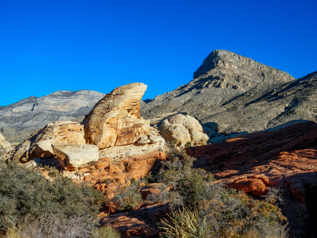
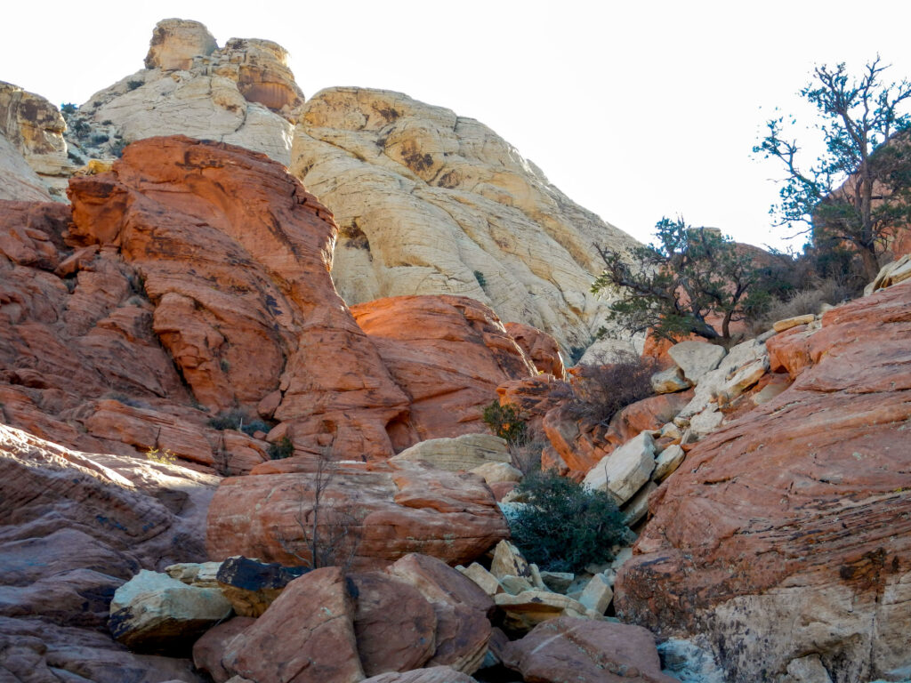
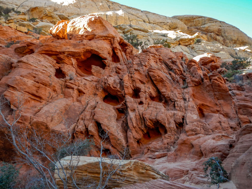
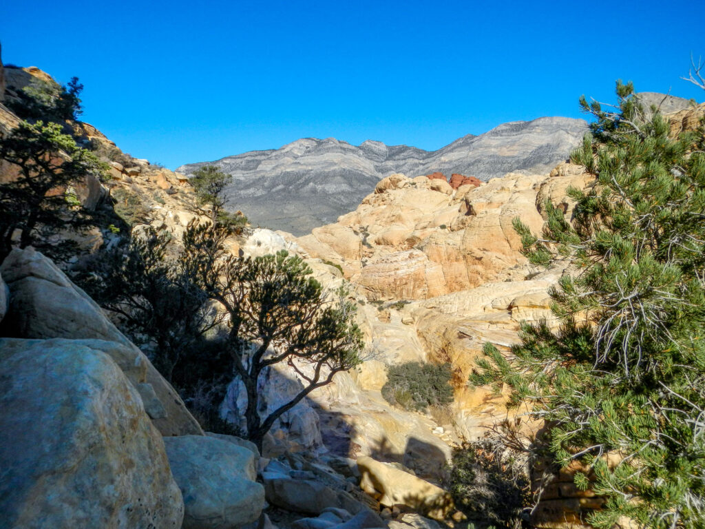
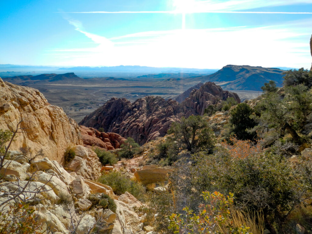
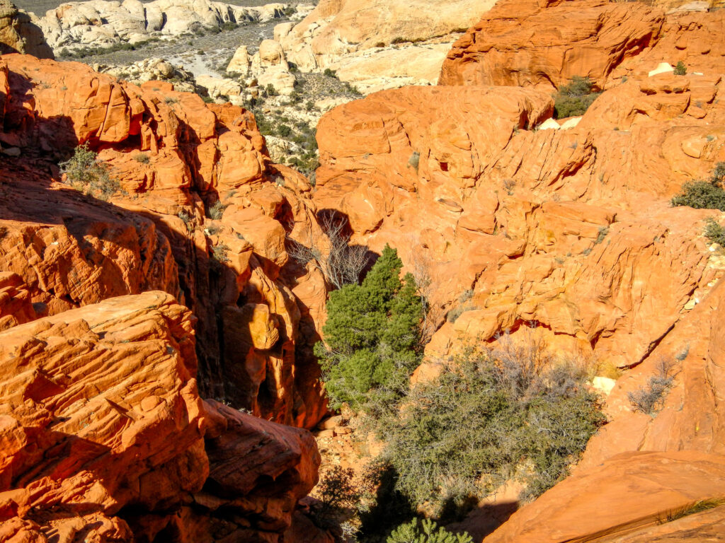
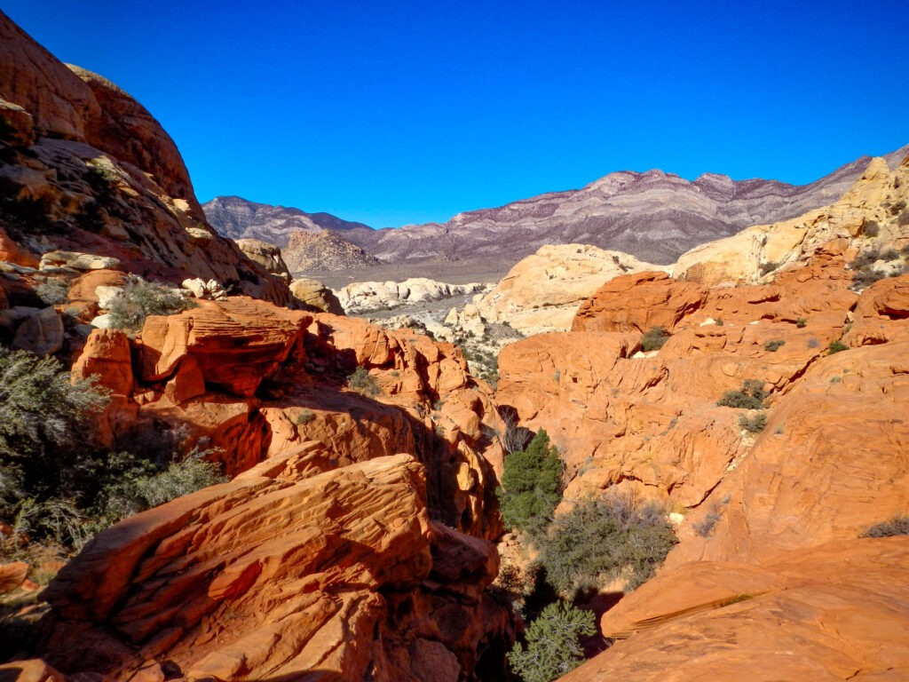
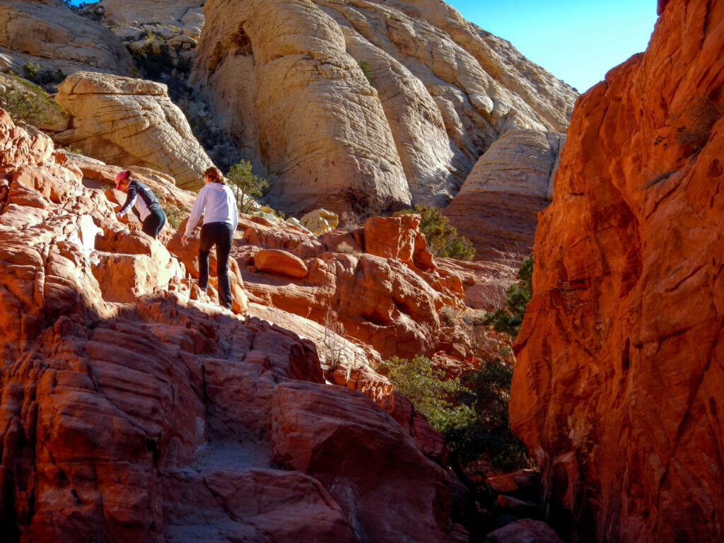
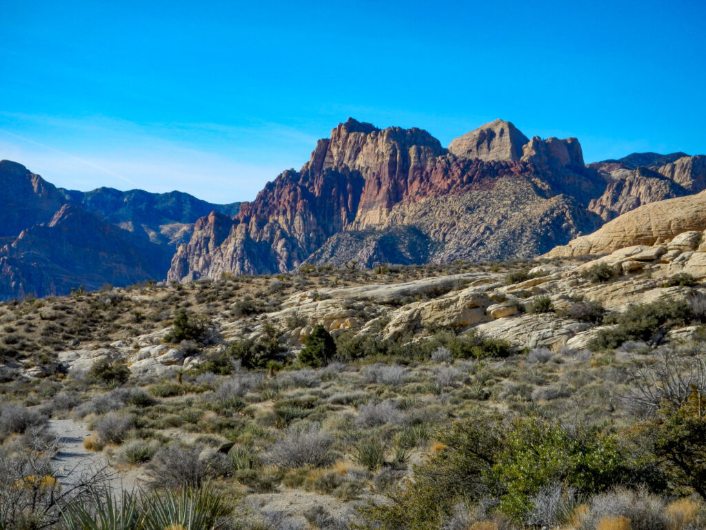
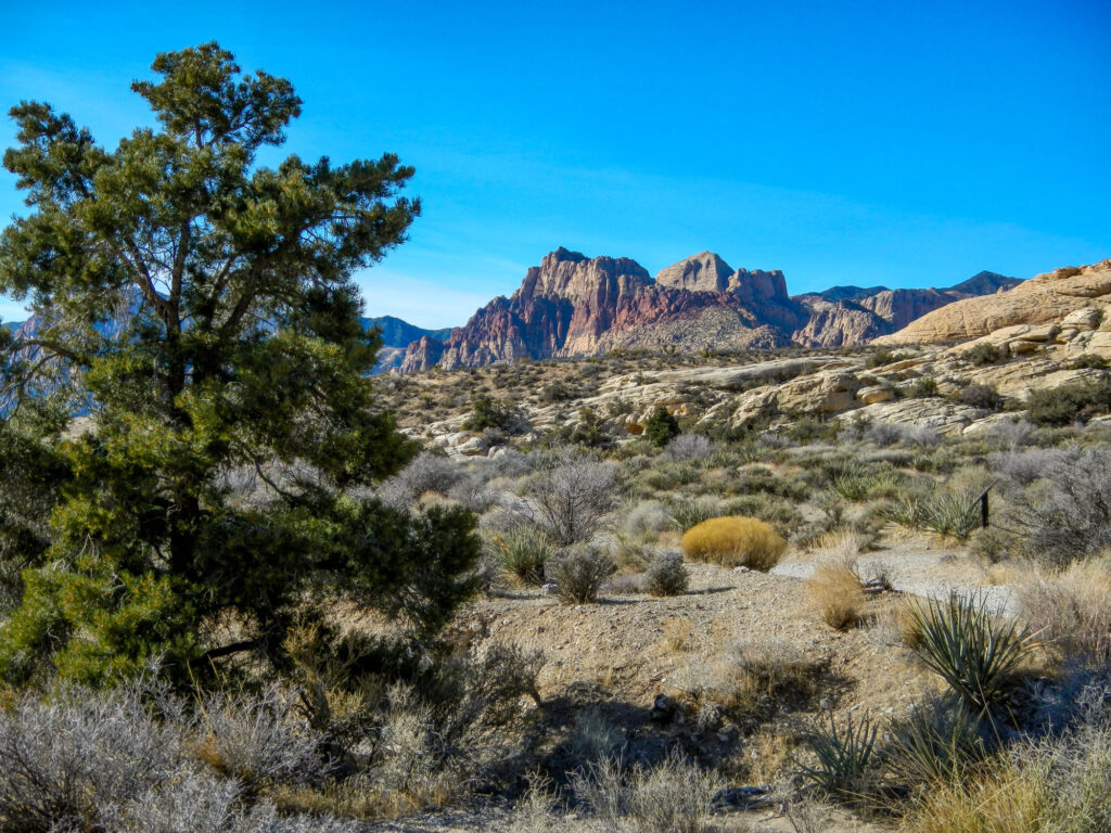
Along the way, you will see a mix of red and white sandstone, bristlecone pines, and some rock scrambling and the trail ends with a natural bowl where water collects in the wetter seasons and breathtaking views of Las Vegas and Red Rock Canyon. What else could you ask for?
This is a down-and-back trail with a distance of about 1.25 miles each way. The path is easy to follow but will give you a nice workout as it goes up about 400 feet in elevation from the trailhead to the top.
Since there is some scrambling involved and some moderate drop-offs I would not recommend this trail for young children or dogs.
How to Get to Calico Tanks Trail
To get to the trail just drive to Red Rock Canyon National Conservation Area on State Highway 159 and pull into the scenic drive. You will drive about 3 miles into the third turnoff which will be the Sandstone Quarry Trailhead.
Insider Tips For Hiking Calico Tanks Trail
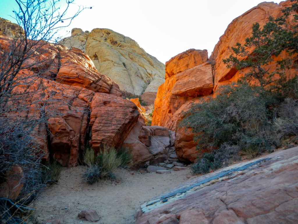
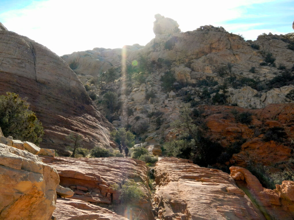
The trail starts at the Northern end of the lot and initially takes you through an old Sandstone Quarry. Once you pass the quarry, follow the trail until it comes to a split. To the left will be the path for Turtlehead Peak so you will want to follow the path to the right and continue through a break in the sandstone.
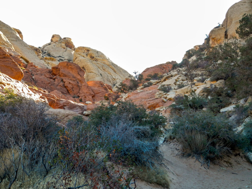
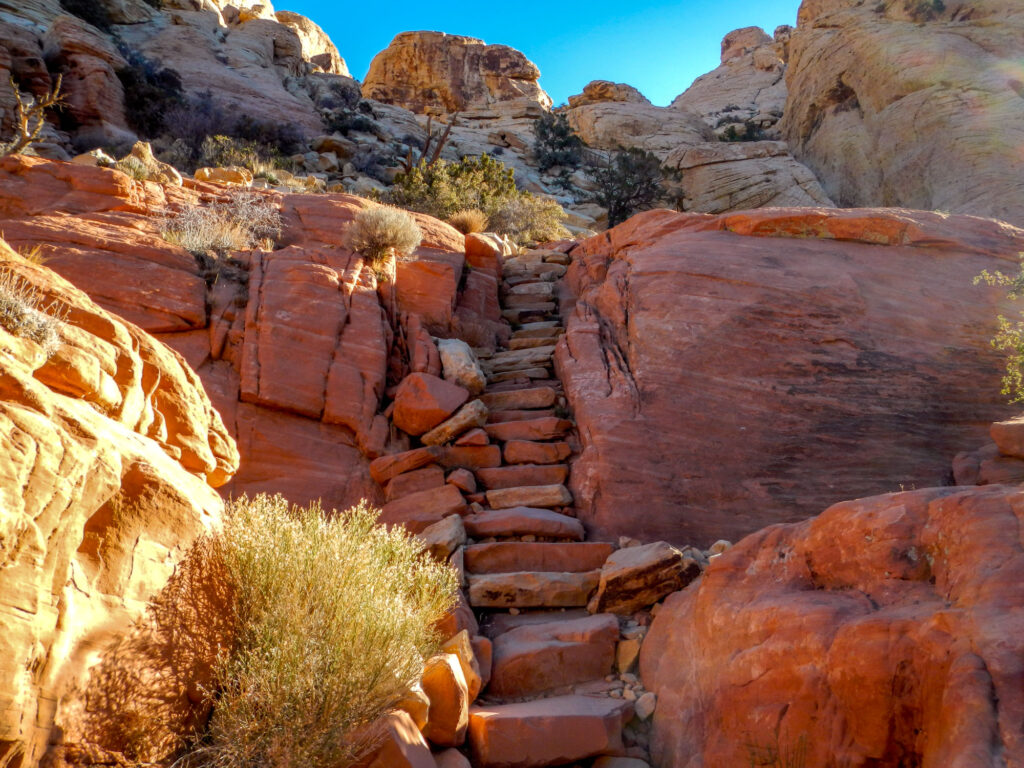
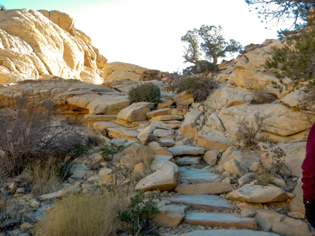
When the path starts to become sandy you will have the option to follow the hiking trail or scramble up the slick rock sandstone to the left. They will both eventually bring you to the same place up the trail. The slick rock is marked with cairns and the trail is well maintained by the trail crew with sandstone slabs placed as stairs in some of the steeper areas.
Continue to travel upwards until you reach the natural bowl otherwise known as the tank. In the wetter times of the year, it will be full of water and is a great place to see wildlife. To the right of the tank, there is a ledge you can follow to get around the water.
Be careful if it is wet as it can get quite slick. With a little exploring, you will stumble upon several of these natural tanks which is what the trail is named after.
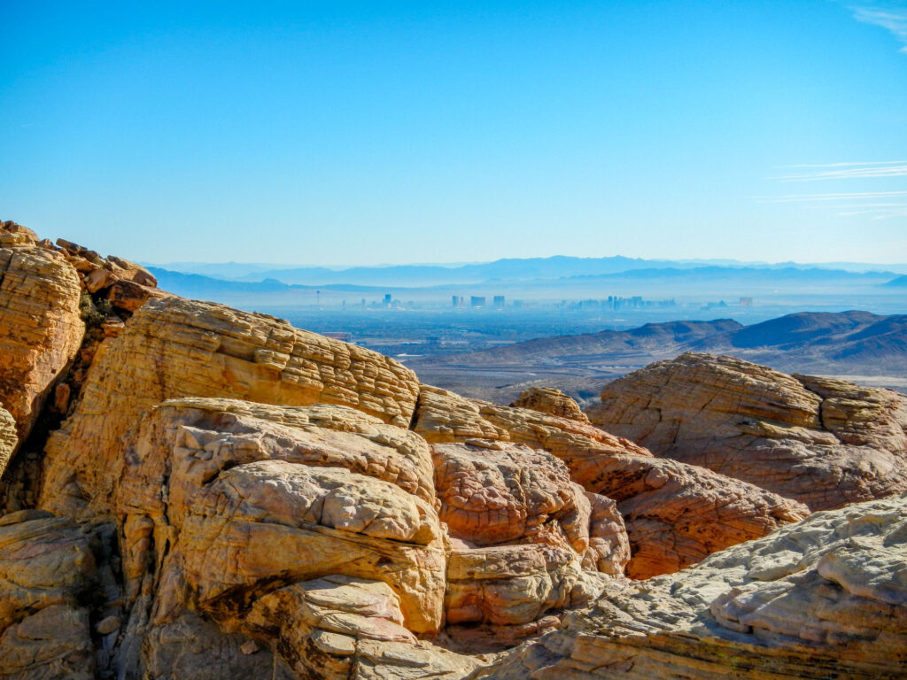
Once past the tank, continue to follow the path higher for an incredible view of the Las Vegas strip and the Calico Basin. Many people try to get up here early or stay later in the afternoon to see the sunrise and sunset. Once finished, turn back and follow the trail back to the parking lot.
About The Red Rock Canyon National Conservation Area
Located in southern Nevada, about 20 miles from Las Vegas, Red Rock Canyon National Conservation Area is one of the most popular tourist destinations in Southern Nevada. The area is a favorite among locals and tourists alike for its stunning red rock formations and hiking trails.
In addition to hiking, visitors to the Red Rock Canyon National Conservation Area can also enjoy the picturesque 13-mile scenic drive with pull-offs and picnic areas. Right outside the park are opportunities for horseback riding and mountain biking.
Similar Hikes to the Calico Tanks Trail Hike
Calico Hills Trail
Las Vegas Overlook Trail
Red Springs Trail


